Wharton Tarn
OS Grid ref:- SD 331988
Wharton Tarn, alternatively referred to as High Cross Tarn, is situated near Hawkshead Hill, the tarn lies around a kilometere to the south of Tarn Hows. The small tarn measures 75 by 57 metres (320 x 95 feet) and has a depth of 2 metres.
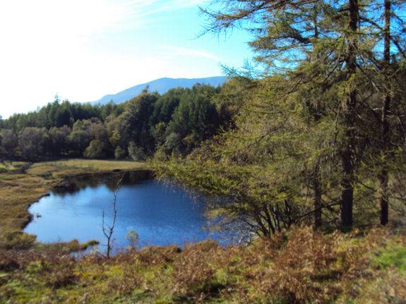
The shores are somewhat marshy but the footpath to the east affords good views of the tarn.
A walk from Tarn Hows to Wharton Tarn
Distance :- approx 3 km
*Commencing at the National Trust car park at Tarn Hows, take the public footpath to the left of the new Visitor Centre and toliets.
*Continue along the path, descending steeply through woodland and proceeding in a southerly direction, ignoring footpaths for Tarn Hows and Coniston, but following signs for Hawkhead.
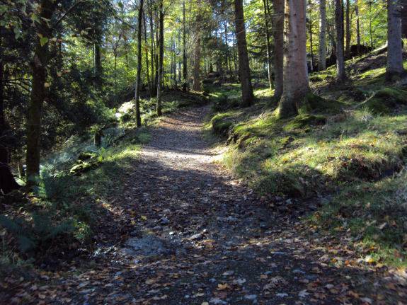
*Follow the path as it turns sharply to the left and shortly afterwards turn left to take the footpath signposted 'Wharton Tarn' that ascends steeply through the forest.
*Follow the path that skirts the tarn to arrive at a crossroads with a tall wooden gate straight ahead, ignore the gate and turn right, pass through a kissing gate and follow the path to the east of the tarn, which affords better views.
*Retrace your steps back through the kissing gate to pass through the tall gate on your right and follow the path up to join the public road. On arriving at the road turn left to return To Tarn Hows.